
Summary
Milna is a settlement on a deep harbour in western Brač. Families who migrated from inland developed it into a community of seafarers, shipbuilders and fishermen, with a Baroque church above the waterfront.
Shipbuilding, seafaring and a naturally sheltered harbour together shaped Milna.
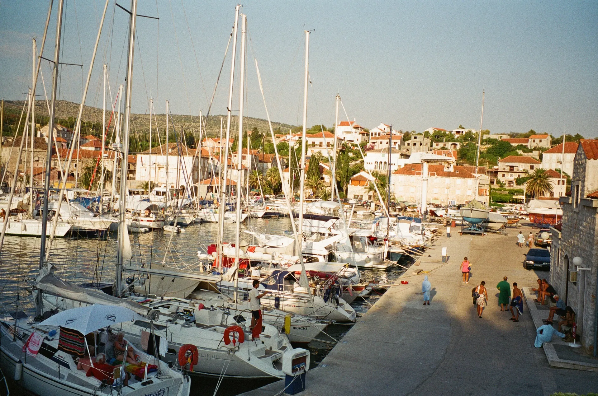
A harbour before a town
The cove appears in medieval sources, but a permanent settlement grew from the early 17th century. Families from Nerežišća and the surrounding area settled there, followed by later migrants from the mainland. The deeply sheltered harbour enabled the growth of maritime traffic and seafaring occupations.
Sources: [1]
Houses, parish and public space
Kaštil Jela belongs to the historic fortified houses in the harbour core. The Church of Our Lady of the Annunciation (Gospa od Blagovijesti), completed in 1783, became its dominant Baroque building. The waterfront, steps and streets beside the church show how the community turned maritime wealth into built and public space.
Work at sea and defence of the passage
Shipbuilding, captains and ship-owning families were important in the 18th and 19th centuries. Baterija Fortress on Zaglav is part of the military history of the approach to the harbour, while Ražanj Lighthouse reflects the later development of navigation. Together, they show that the safety of maritime traffic was part of everyday island life and work.
Water and votive routes
The Pjover and gustirna in Milna (respectively, a rainwater catchment area and a rainwater cistern) form part of the rainwater collection system, essential on an island without permanent streams. The Stations of the Cross chapels and the Church of St Joseph lead towards Osibova. Water infrastructure and devotional paths preserve two different sides of community life: economic need and religious practice.



