
Summary
Ražanj Lighthouse is on the western side of Brač near Milna, beside the Splitska vrata passage. The stone building and tower with a lantern form part of the island's history of maritime signalling.
Ražanj Lighthouse is on the western side of Brač near Milna, beside the Splitska vrata passage. The stone building and tower with a lantern form part of the island's history of maritime signalling.
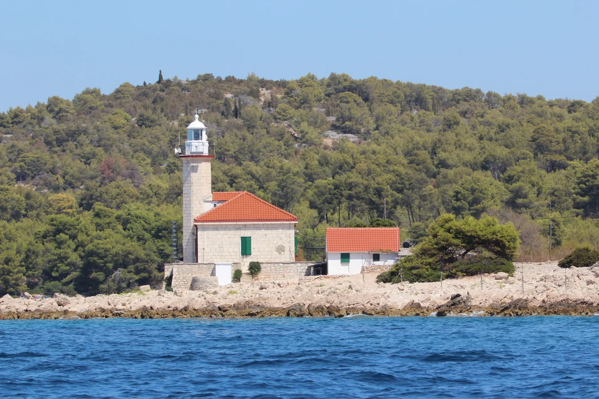
Maritime location
The lighthouse was built in 1874 on a cape important for navigation between Brač and Šolta. Its role comes from its position beside a busy sea passage rather than from its proximity to a settlement centre. Plovput lists technical information about the structure in its lighthouse directory.
The building
The complex consists of a single-storey stone building and a polygonal tower with a lantern. The Milna Tourist Board description notes that the tower stands out on the building's southern façade. The regular stonework and the connection between the working area and the light tower are features of this maritime structure.
The light and official information
Plovput lists a 14-metre stone tower at Ražanj and the main light's focal plane at 17 metres above mean sea level. The official entry also lists lighthouse keepers and a remote monitoring system. These details show that this is a functioning maritime facility, not just a historic building.
The light's characteristics, range and visibility sectors are official nautical data that may change. For navigation, consult the current Plovput entry and the relevant nautical publication; a photograph or tourist map pin is not a substitute.
Access and visiting
The lighthouse is outside the settlement, on a cape. Check land access, whether the building can be approached and any conditions for entering before arriving. A lighthouse marker is not a nautical chart and does not replace official data for navigation.



