
Summary
Nerežišća is the historic administrative centre of Brač, in the island’s interior. Its churches, former public spaces and cultivated fields tell of centuries of island governance, agriculture and stoneworking.
For centuries the island’s administration was based inland, before its centre of gravity shifted to Supetar.
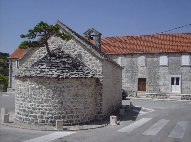
An inland centre
From the Middle Ages until the early 19th century, Nerežišća was the administrative and economic centre of the island. Its position above the fields connected homes, cultivated land and island routes. The transfer of judicial and administrative functions to Supetar in 1827 marked a shift in the relationship between the interior and the coast.
Churches and art in the centre
The Church of Our Lady of Mount Carmel (Gospa Karmelska) preserves medieval and later building phases; its façade and bell tower from 1746 are attributed to Ignacije Macanović. The Church of St Peter has a stone altarpiece by Nikola Lazanić, dated 1578. The Church of St Margaret further illustrates the density of sacred heritage within the village.
Fields, work and the sacred hinterland
Agriculture, livestock raising and stoneworking have shaped the area around Nerežišća. St Tudor and St George outside the village core belong to the older sacred landscape of the fields and routes approaching the settlement. Their locations show how the wider area was used; proximity alone does not mean that all these sites belonged to the same institution.
Natural and working landscape
Kolač Rock is a distinctive natural formation near the settlement. Dunaj, by contrast, is a structure for retaining water in the landscape. Natural features and human infrastructure show different ways of living in the karst, each site with its own story.



