
Summary
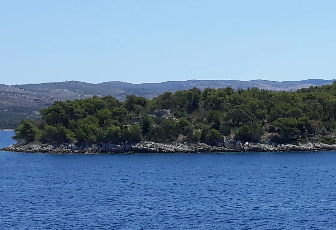
Baterija Fort on Cape Zaglav near Milna is a remnant of the French defensive system from the Napoleonic Wars. It was built in 1806 to monitor the sea passage along the western end of Brač.
Baterija Fort on Cape Zaglav near Milna is a remnant of the French defensive system from the Napoleonic Wars. It was built in 1806 to monitor the sea passage along the western end of Brač.
History and defensive purpose
The French administration built the battery during the struggle for control of the eastern Adriatic. Its position on the cape allowed ships passing towards the central Dalmatian islands and Split to be monitored. The fort had an artillery battery, which gave it its name.
The Milna Tourist Board describes it in the context of the 1806 conflict between French and Russian naval forces. Municipal planning documents list it as a fortification on Cape Zaglav.
According to the Milna Tourist Board, Brač peasants were engaged to build it, and the initial battery was later reinforced. The fort formed part of a wider defence of the sea approaches rather than an isolated military post. Its name preserves the original function of a group of guns positioned to fire out to sea.
Ramparts and interior
A distinctive irregular pentagonal plan survives, with high defensive walls. Remains of rooms can be seen within the ramparts, while the lookout position rests on a raised terrace and natural rock. Its position above the sea is an important part of the experience of the building and explains its former strategic role.
The entrance is described as being on the northeast side, beside the reinforced ramparts. The interior rooms survive to varying heights, and a vaulted stairway led to the lookout terrace. When reading the ruins, distinguish between the defensive wall, the terrace retaining wall and the natural rock.
Access and visiting
The site lies outside central Milna on a rocky cape. Check whether the access road is passable before visiting. The ruined walls are not a maintained staircase or a viewing platform railing; do not climb onto their edges.

