
Summary
Bobovišća na Moru is a harbour settlement in western Brač, historically connected with Bobovišća and Ložišća. The fortified Kaštel, Vladimir Nazor’s family home and the archaeology of Vičja luka reveal different periods in the life of the cove.
The Poet’s Harbour was an economic outlet to the sea for villages inland.
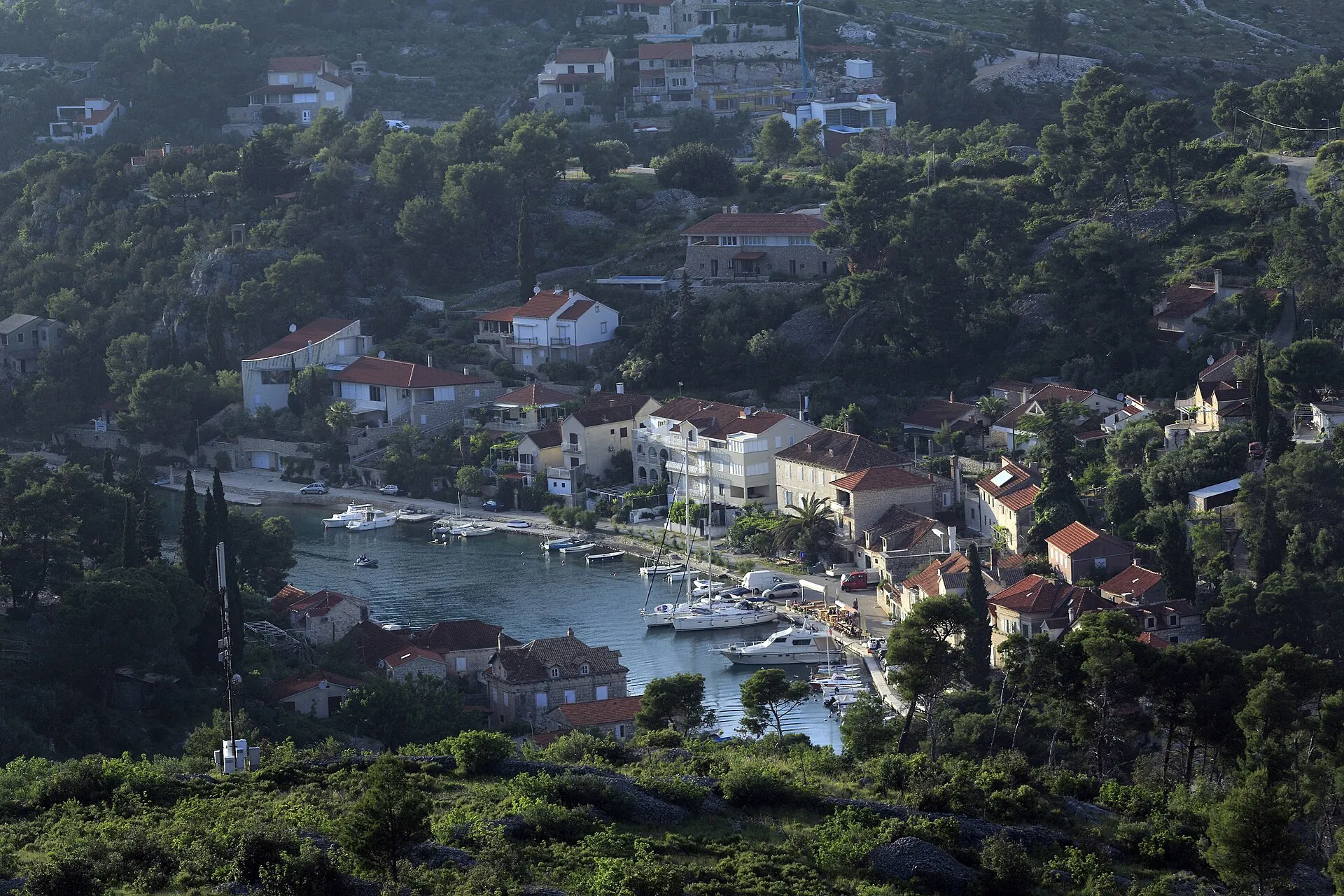
Harbour for two villages
Bobovišća na Moru developed as a harbour for Bobovišća and Ložišća. The branching cove offered places for loading, storage and shelter at sea. This coastal settlement therefore has a history of its own, even though it shares its name and strong economic ties with inland Bobovišća.
Sources: [1]
Archaeological cove
Vičja luka preserves archaeological finds on land and underwater. Rich grave goods from prehistoric burials point to contacts between the local community and the Greek world. The finds predate the present coastal houses and do not prove continuous development of the same settlement.
Kaštel and maritime economy
Kaštel Gligo (the Gligo fortified residence) defended the coast and the route inland. Its development reflects the family’s defensive and economic needs, linked with seafaring and trade. The enclosed courtyard and houses beside it show that the harbour served not only as a mooring place but also as a place to store goods.
Nazor’s family places
Vladimir Nazor’s House is a place associated with his childhood and literary memory, not his birthplace, which is in Postira. Three Sisters is a separate memorial site above the harbour: it commemorates the poet’s sisters. The different houses and monuments associated with Nazor should not be confused when looking at old photographs.



