
Summary
Bobovišća is a village in the interior of western Brač, separate from the coastal harbour of the same name. Its parish church, Gligo Palace and cultivated landscape tell of farming families, landowners and connections with the sea.
Upper Bobovišća and Bobovišća na Moru are connected but geographically distinct places.
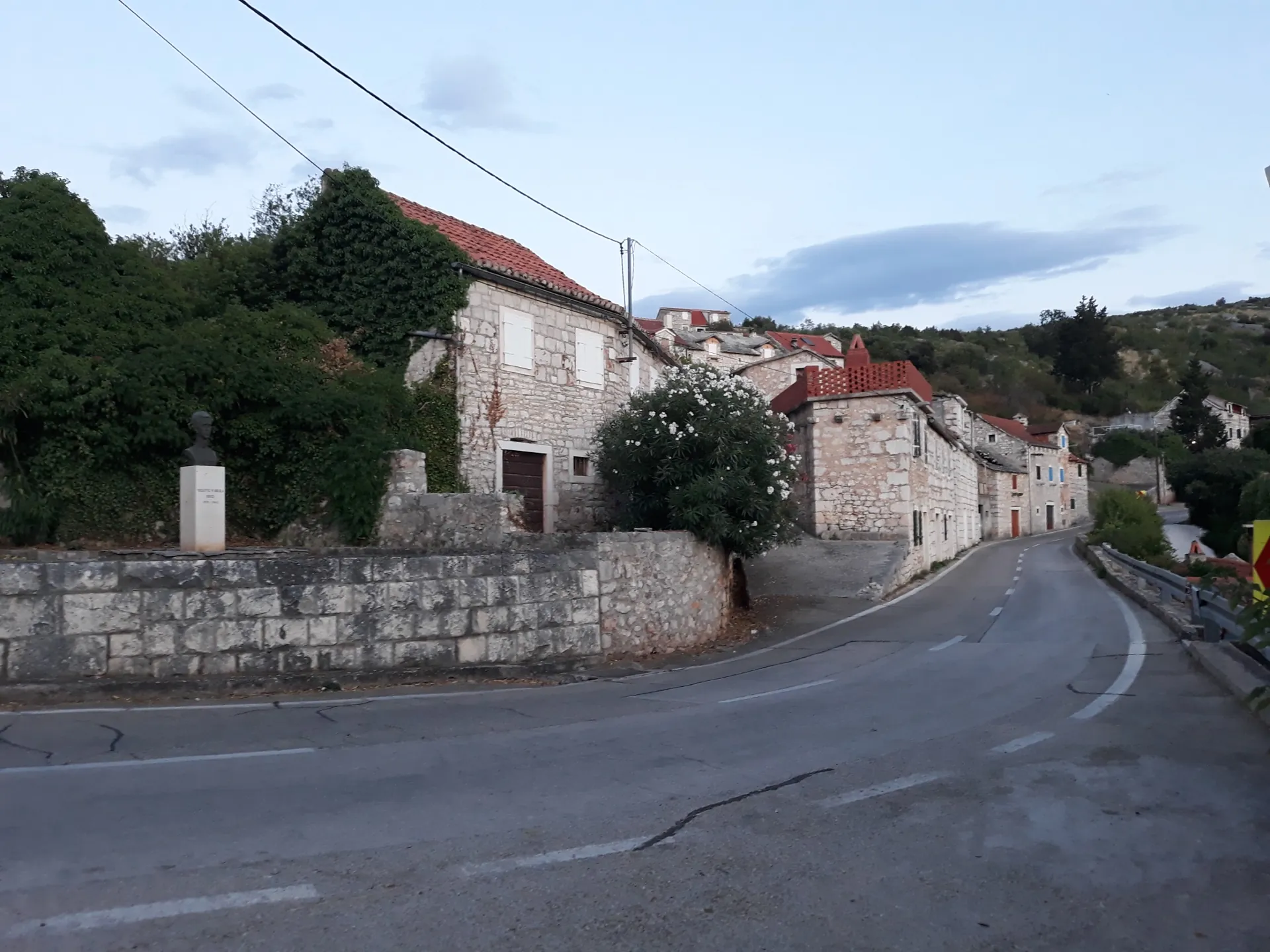
A village above the harbour
Bobovišća lies on the road towards Milna. Its stone houses cluster around a core above cultivated hollows. Bobovišća na Moru developed as a harbour for this village and Ložišća: the relationship between inland settlement and port matters more to understanding the place than the present-day distance by road.
Parish and independence
The Church of St George (crkva sv. Jurja) and the Church of St Martin above the village mark different layers of religious life. In the 17th century, residents sought separation from the distant mother parish of Nerežišća. Bobovišća and Ložišća became an independent parish in 1750, before the Ložišća community later became independent.
Palace and family estate
Gligo Palace in Bobovišća is a separate building from the coastal kaštel. Its size and Neoclassical design testify to the family’s wealth. The name Kuća Cerinić–Gligo (Cerinić–Gligo House) is also used, but Čikara cautions that the combined surname reflects later inheritance, not the builder’s original name.
Work and the growth of a neighbouring village
Olive growing, viticulture and dry-stone construction are important parts of the village’s history. Ložišća developed through migration from Bobovišća. The relationship connects the two communities through family origins and parish life, not just their neighbouring locations.



