
Summary
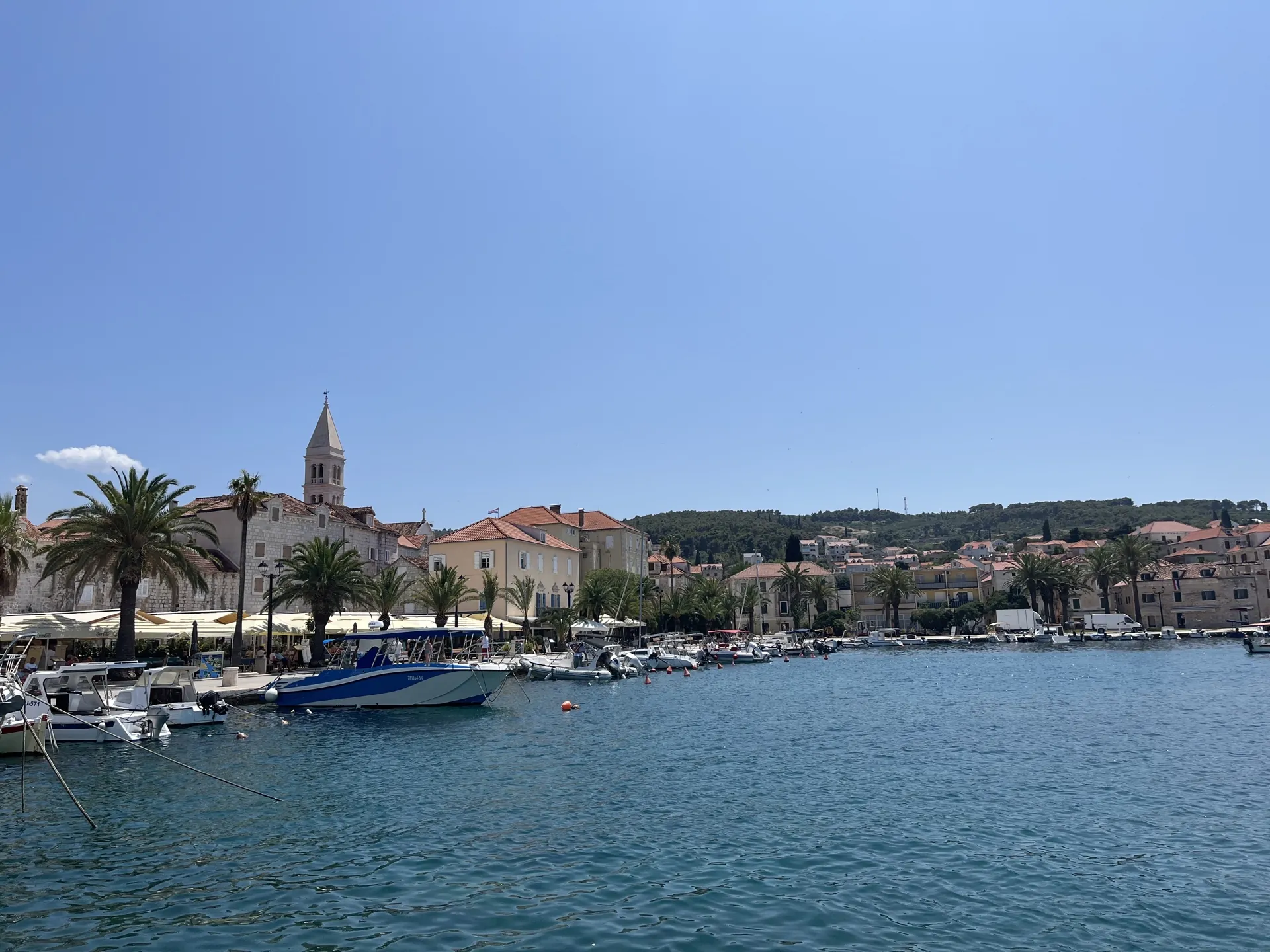
Supetar is a harbour on the northern coast of Brač and the island’s present-day administrative centre. It developed from the port of Nerežišća; its centre brings together the church square, waterfront, maritime houses and works by Ivan Rendić.
The transfer of island administration to Supetar in 1827 shows how the harbour took over the role of the former inland centre.
From harbour to settlement
Supetar Bay served the people of Nerežišća as an outlet to the sea. The name appears in documents in 1423, and a permanent settlement grew in the 16th century. Migration from inland, seafaring and trade gradually connected the harbour with the whole island. Ancient remains on the shore show earlier use of the area, but they do not date the founding of the present-day town.
Church square and earlier layers
The Parish Church of the Annunciation of the Blessed Virgin Mary, dating from 1738, and the remains of an Early Christian mosaic beside it connect today’s centre with an older sacred site. During the 18th century, houses of seafarers, merchants and landowners grew around the harbour, forming the core of present-day Supetar.
The shift of the island’s centre
Supetar became Brač’s administrative and judicial centre in 1827. This transition was part of the island’s wider turn towards the coast. The harbour matters beyond the tourist season too: it connects island residents with Split, work, education and public services.
Rendić and the city’s memory
The Ivan Rendić Gallery preserves a memorial collection devoted to the sculptor, whose works are part of Supetar’s identity. St Nicholas Cemetery is a separate place of family and artistic remembrance; it also contains the Petrinović Family Mausoleum, a work by Toma Rosandić. The gallery and cemetery show different ways of preserving the memory of people connected with the town.
Water and life in the hinterland
Three Ponds near Supetar recall water as a shared resource for livestock and agriculture. Sites like these explain the town’s relationship with cultivated hinterland: the history of the coast also includes working the land, olive groves and paths inland.
Sources: [2]



