
Summary
Mirca brings together an old stone core above the sea and a newer coastal area. The settlement grew through migration from Sutivan and Donji Humac; olive growing, the parish and family homes remain important to life here.
Mirca’s history can be read between the upper village, farmland and the coast.
A settlement formed between older villages
According to a local history, Mirca was founded in the 16th century by people from Sutivan and Donji Humac. This connects its origins with the movement of life from Brač’s interior towards the coast. The name is interpreted as deriving from the Latin murus, meaning wall; the historical form Mirce is also recorded.
Upper core and coast
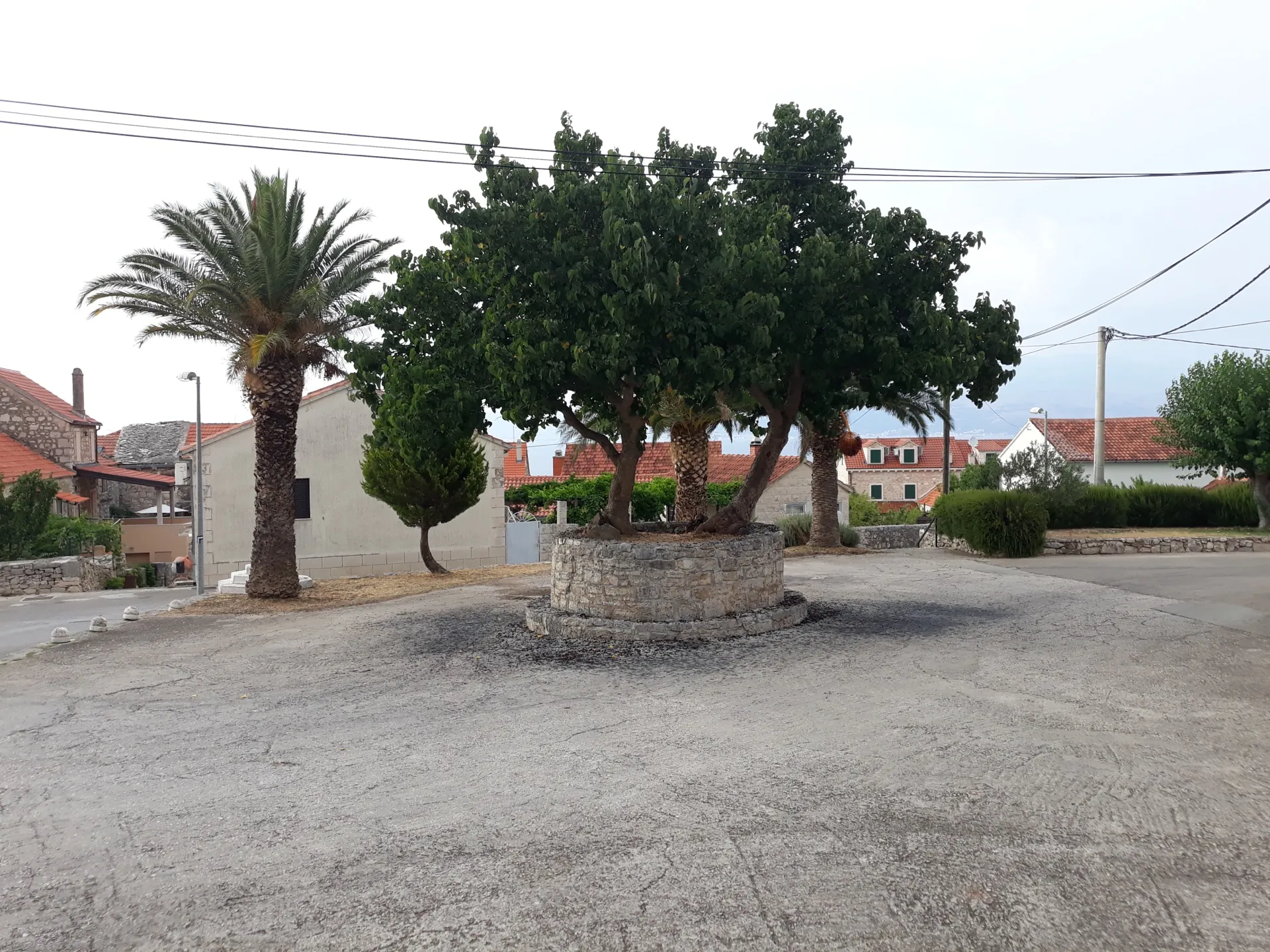
The old part of the settlement stands above the sea, while newer development spread along the coast of the Brač Channel. Stone houses and narrow streets in upper Mirca preserve the scale of an agricultural village. The movement of houses towards the sea did not sever the settlement’s ties with its olive groves and vineyards.
Parish and artistic heritage
The Parish Church of the Visitation of the Blessed Virgin Mary dates from 1733, and its bell tower from 1858. It contains works by Felix Tironi and Pavo Gospodnetić. Beside the cemetery stands the Church of St Theresa, built in 1931. Together, the churches connect communal worship, family remembrance and art created in an island community.
Olive groves and gatherings
Olive growing, grapevines and other Mediterranean crops shape the surrounding landscape. The Maslinovi puti (Olive Paths) run through this working landscape. Gospa Miraška (Our Lady of Miraška) and art exhibitions in Mutne kale show that the identity of the village is shaped by residents’ gatherings as well as by the appearance of old houses.



