
Summary
Donji Humac is an old settlement in the interior of northwestern Brač. Its history connects the parish church, stoneworking and archaeological sites nearby, especially Kopačina Cave.
The prehistoric cave and the medieval village belong to different periods in the same landscape.
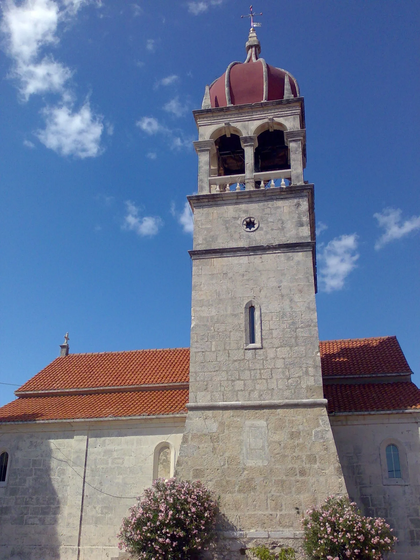
Name and old village centre
Donji Humac is first mentioned in 1375 and is among the older settlements in the interior of Brač. Its stone houses and hilltop centre took shape over the course of community life. The first historical mention of the village should be distinguished from much older archaeological traces nearby.
Sources: [1]
The cave as a window into earlier history
Kopačina Cave (Špilja Kopačina) is important for studying prehistoric human presence on Brač. Its finds do not mean that today’s village dates from the same period. The cave helps explain earlier use of the area and is therefore an important part of the story of the hinterland of Donji Humac.
Parish, fresco and older churches
The parish Church of St Fabian and St Sebastian (crkva sv. Fabijana i Sebastijana) developed on the site of an older sanctuary and preserves a medieval fresco. St Elijah (Sv. Ilija), built over the remains of a Roman mausoleum, and St Luke show how religious buildings became part of the older landscape. Holy Cross (Sv. Križ) is another site in the village’s sacred history.
Sources: [1]
Stone and everyday life
Stone deposits and stoneworking strongly shaped the development of the village. Agriculture and livestock raising were also important; stone houses, courtyards and cultivated land formed part of the same economy. Contemporary sculpture and crafts continue the village’s relationship with the material from which it was built.



