
Summary
Dol is a settlement in a valley south of Postira, surrounded by rocky slopes, caves and olive groves. Its story brings together medieval churches, work on the land, the Gospodnetić family and shepherds’ dwellings on the plateau.
Dol and Postira are connected by the historic movement of people down towards the former harbour.
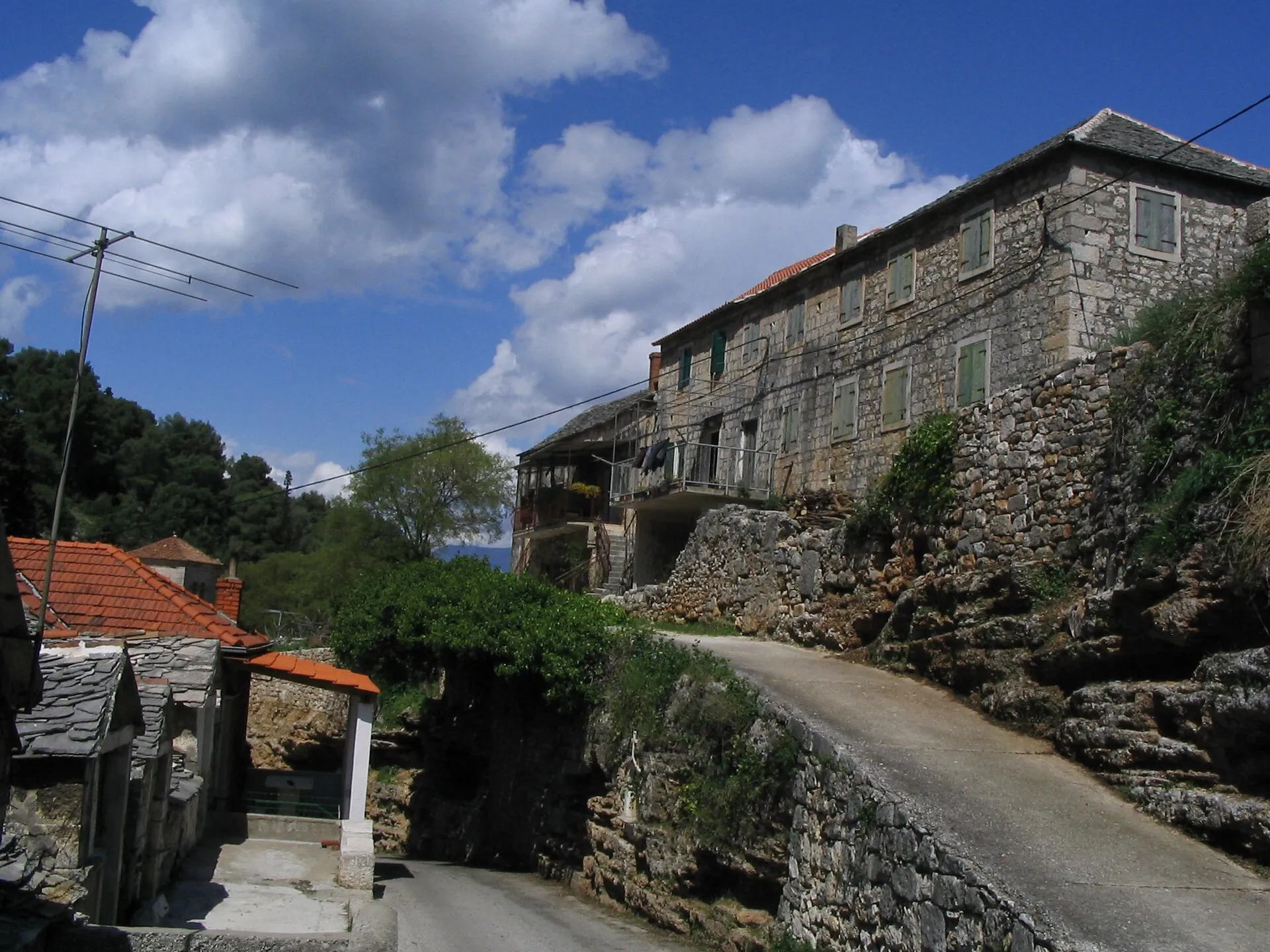
A village in a valley
Dol’s setting in a sheltered valley, its stone houses and slab roofs define its appearance. The caves known as Spile in Dol formed in breccia rock, which locals call hrapoćuša. They served various practical needs and are also associated with stories about the viveri, creatures from local folklore.
Sources: [1]
From the interior to the harbour
Postira developed in the 16th century as residents of Dol moved towards the sea. This change connects the older inland village with the coastal economy and the later administrative centre. The history of Dol therefore also includes routes beyond the valley itself.
Sources: [2]
Parish and churches on the slopes
The Church of the Purification of the Blessed Virgin Mary (crkva Očišćenja Blažene Djevice Marije) is the centre of the parish and the Candlemas celebration. St Peter above the village and St Michael on a nearby hill preserve older sacred layers. Their locations connect religious history with the landscape and the routes taken by local people.
St Vitus on Velo Brdo is another point in the older sacred landscape around Dol.
Houses and seasonal livestock raising
Kaštil Gospodnetić, the Gospodnetić family residence, is part of Dol’s historic residential and economic fabric. The shepherds’ settlement of Gažul on the plateau was established by the Dol family Gospodnetić–Bežmek for seasonal livestock work. The connection between the village and its dwellings shows how one household could rely on different parts of the island.



