
Summary
Splitska is a settlement in a cove on Brač’s northern coast, between Supetar and Postira. Its history connects stone quarries inland, maritime exports, the church and the fortified home of the Cerinić family.
The harbour at Splitska linked quarries on Brač with major building sites on the mainland.
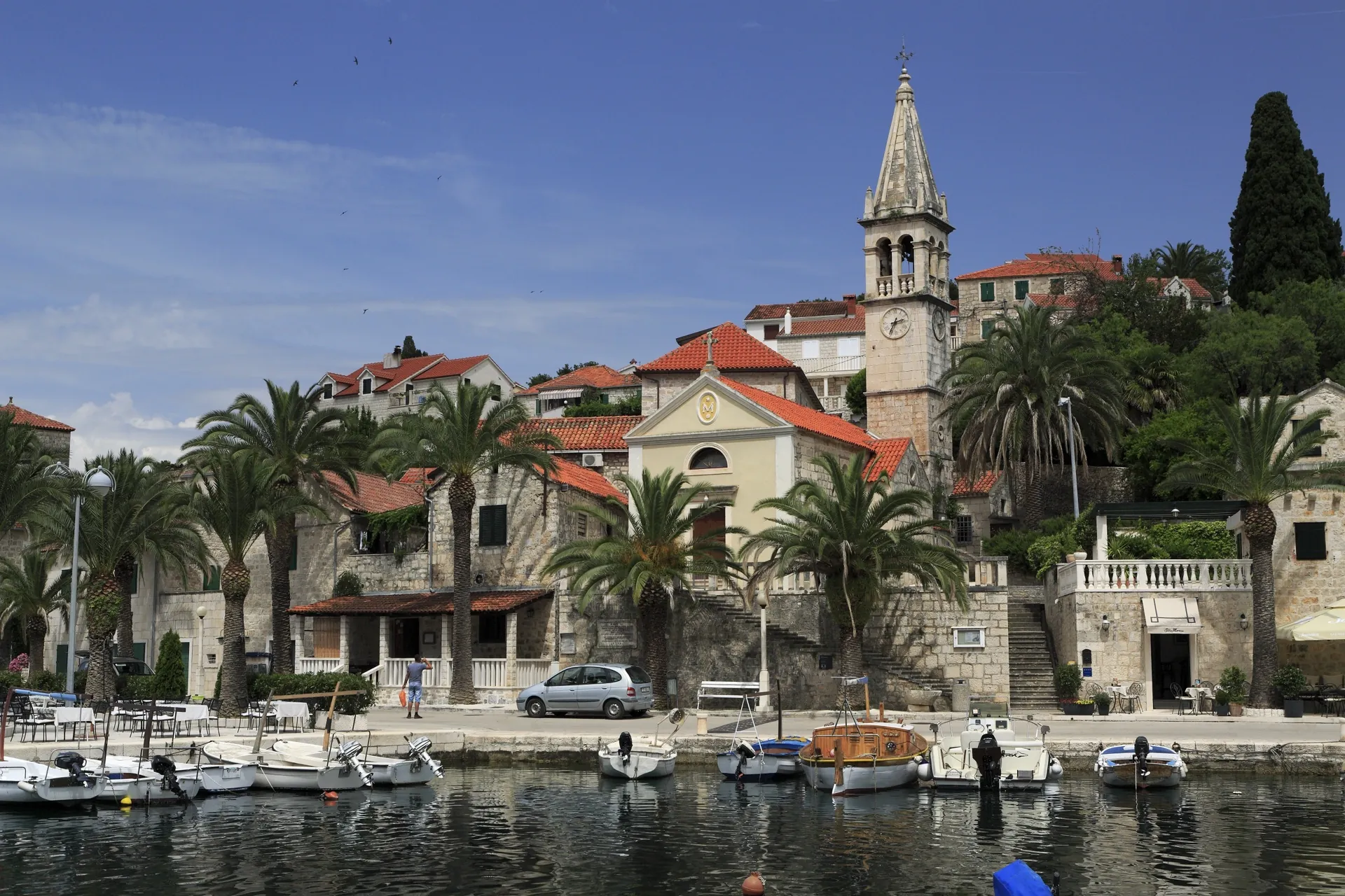
The cove and the growth of the settlement
The ancient harbour and the present-day settlement belong to different periods in the history of the same cove. The current centre took shape in the early modern period, especially from the 16th century. Houses by the sea, cultivated hinterland and maritime traffic together explain the growth of Splitska.
Stone quarries and Škrip
The Roman Quarries above Splitska supplied stone that was exported through the harbour, including stone for Diocletian’s Palace. The relief of Hercules at Rasohama is evidence of a cult associated with quarrying. According to Cambi’s interpretation, Škrip had an administrative role in this production; the harbour and settlement are therefore linked by a specific economic history.
Church and kaštel in the centre
The Parish Church of the Assumption of Mary was built on the site of an earlier church. A local account highlights an altarpiece by Leandro Bassano from 1577. Kaštel Cerinić, the Cerinić fortified residence in Splitska, dates from the same year and reflects the need to protect a coastal home and estate. It is separate from the Kaštel of the same family in Škrip.
Sacred landscape and work
The crkva sv. Jadre (Church of St Jadre) between Splitska and Škrip is part of the Early Christian heritage of their hinterland. Olive trees, grapevines, figs and almonds speak to the agricultural side of the settlement alongside maritime activity and quarrying. The church’s location in this landscape does not by itself prove that it served the quarrying community.
Sources: [2]



