
Summary
Gornji Humac is one of the old settlements on the plateau of Brač. Livestock raising, work with the land and timber, and sacred heritage connect its centre with the historic settlements and churches nearby.
Objects from nearby churches kept in the local parish church show how heritage from a wider area was brought together.
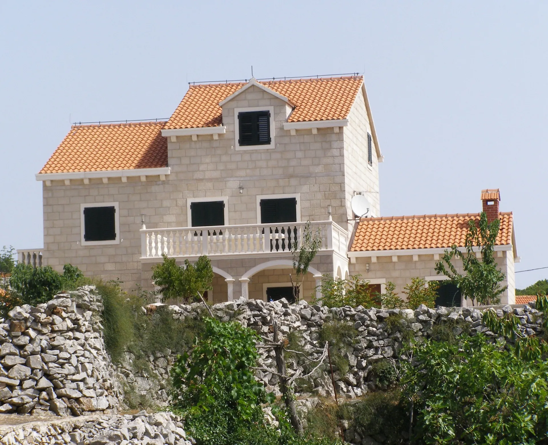
A settlement of the people of Humac
Gornji Humac is mentioned in 1250 under the name Hlmčane. Its spread-out layout is linked to life on the plateau. Livestock raising, logging, beekeeping and working the land long shaped household work; pastures were as important as the stone houses themselves.
Sources: [1]
The parish church and transferred artworks
The Parish Church of St Nicholas (župna crkva sv. Nikole) preserves two stone triptychs. One is associated with Sts Cosmas and Damian at Straževnik and the workshop of Niccolò of Florence. The transfer of the artwork is a tangible trace of the connection between the two sanctuaries and of heritage from the surrounding area being gathered in an active parish centre.
Churches and an earlier landscape
St Michael outside the village centre and the Church of the Holy Spirit are part of the sacred network of the Humac area. Brkata, a large prehistoric stone mound, belongs to a much earlier period. It shows that the plateau was used before the medieval village, without proving that a settlement existed continuously from then on.
Memory and the community’s survival
Gornji Humac endured destruction and emigration, and was rebuilt through the work of its residents. Understanding the village also means considering its cemetery, family homes and local speech. The abandoned settlements nearby show that today’s network of living communities has not always been the same.



