
Summary
Pražnica is an old livestock-raising and agricultural settlement on the plateau of Brač. Churches on the square and at the cemetery, the Chakavian dialect and ties with Straževnik help explain its place in the history of the island’s interior.
The village developed a shared centre within an older landscape of pastures, shepherds’ dwellings and cultivated land.
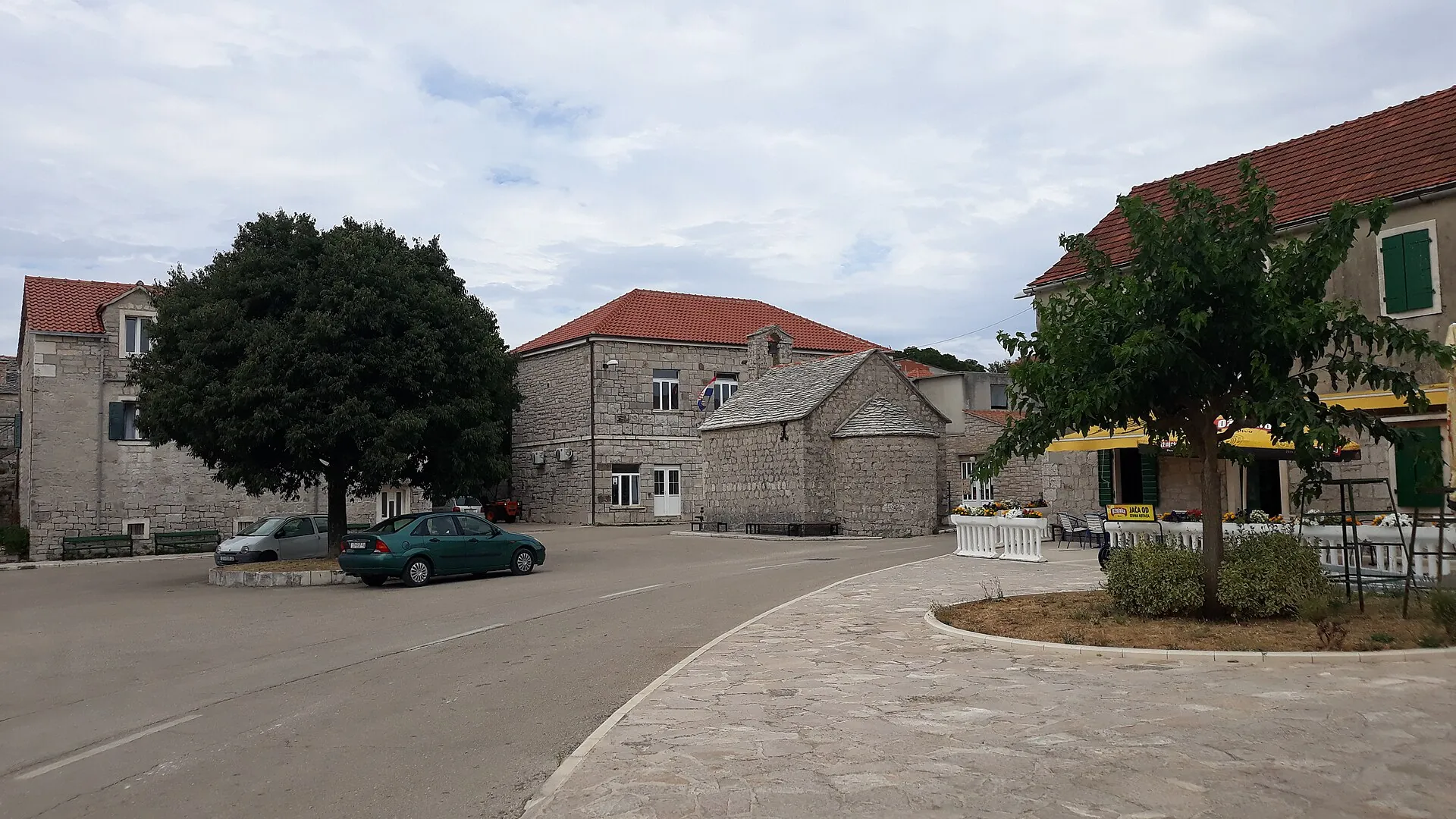
Life on the plateau
Pražnica grew in the island’s interior, among pastures and land that had to be cleared. A local account connects the name with burning vegetation to create arable land. Livestock raising, agriculture and, later, stonemasonry workshops shaped the village economy, alongside the preservation of the local Chakavian dialect.
Sources: [1]
The square and parish centre
The Parish Church of St Anthony the Abbot (župna crkva sv. Ante Opata) is part of the central village core. The Church of All Saints was built on the village square in 1638 and preserves older stylistic influences. Their proximity points to the community’s civic and religious centre, while the two buildings have distinct histories.
The cemetery and Renaissance art
St Cyprian at the village cemetery preserves a stone relief from 1467, associated with the circle of Niccolò of Florence. The small church shows that important works of art existed beyond the island’s harbours. The cemetery remains part of the family memory of Pražnica.
Sources: [1]
Straževnik and the coastal parish
Straževnik is a neighbouring historic settlement whose remains and churches bear witness to a different pattern of life in the island’s interior. Pučišća separated from the parish of Pražnica in 1566. This is an important link between the plateau and the coast, distinct from today’s transport routes.



