
Summary
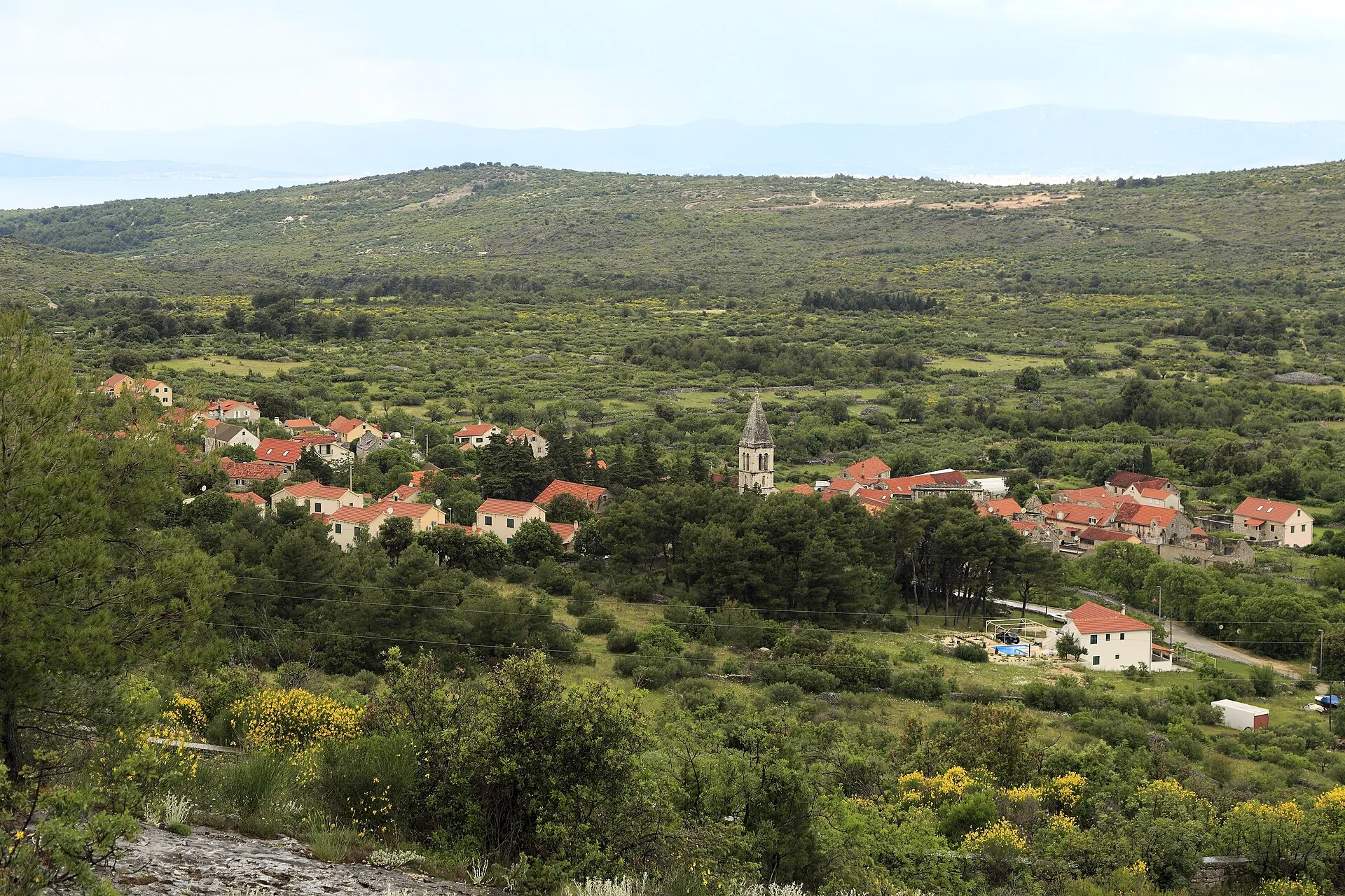
Dračevica is an agricultural settlement in the western interior of Brač, founded by settlers from Poljica. Its square, wells, churches and remains of a windmill preserve the history of work and adaptation to the karst landscape.
Water, grain, olives and stone all come together in the local landscape.
Origins in Poljica
The village was founded in the 16th century by settlers from Poljica, who left the mainland ahead of Ottoman attacks. After an initial stay farther west, they established the present settlement. Its old centre is clustered around a square, with streets branching out towards the stone houses.
Wells and a working landscape
The many traditional water cisterns known as bucala show how households organised life on dry terrain. Vines, olive trees and stoneworking formed the economic base. The windmill above Dračevica belongs to the area’s former grain processing and bears witness to the settlement’s role in supplying the wider area.
Sources: [1]
Two churches and a shared feast day
Kuzma Žuvić had the Church of Sts Cosmas and Damian (Crkvu sv. Kuzme i Damjana) built in 1678. The later Church of the Immaculate Conception (crkva Bezgrešnog začeća) took over the parish role. The statues of the saints are carried between these churches, linking the older sanctuary with today’s parish community; their connection is more than just geographical.
Language and the village’s memory
Dračevica is the birthplace of linguist Petar Šimunović, a researcher of Croatian names and island dialects. Local history is also preserved through family memories and a record by Nikola Šimunović from 1775. Alongside the buildings, such sources pass on the experience of the settlement and its people.



