
Summary
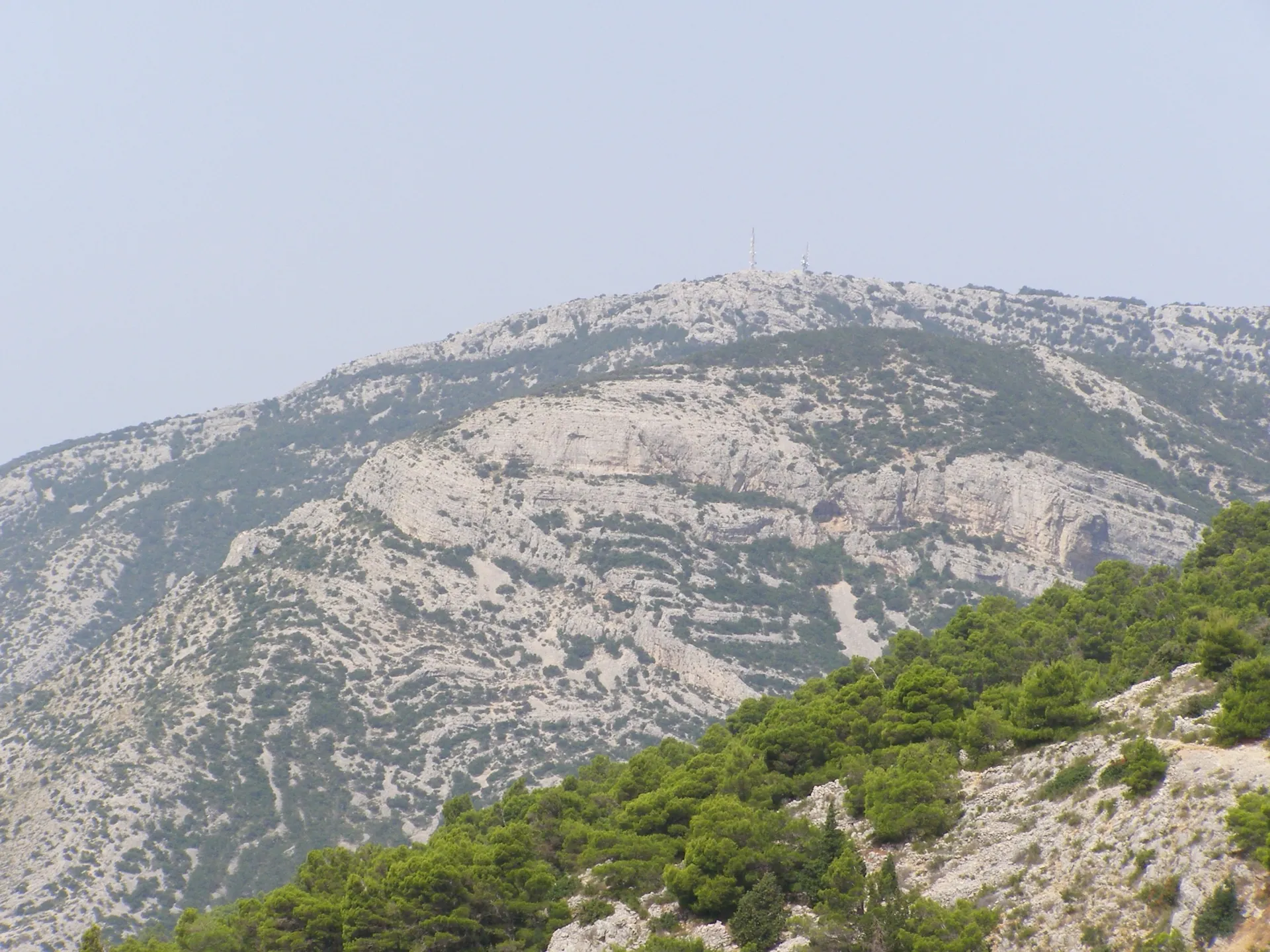
Vidova gora is the highest point on Brač and among the Croatian Adriatic islands. The protected significant landscape includes woodland, karst and grassland areas, and the summit offers wide views of the southern coast and neighbouring islands.
The protected area covers about 1,880 ha; the summit pin does not represent the boundaries of the entire landscape.
History and context
Vidova gora reaches 778 metres and is the highest summit on Brač and on all Croatian Adriatic islands. It is protected as a significant landscape. Official materials give an area of about 1,880 hectares within the municipalities of Bol, Nerežišća and Postira.
What the site reveals
The karst ridge and its surroundings include forests of Dalmatian black pine, dry grasslands, rocks, pits and caves. The public institution More i krš also documents the area's biological value. The mountain's name is associated with the Chapel of St Vitus, whose remains lie near the summit and are listed as a separate record in the atlas.
Location and visiting
Road and foot access lead to Vidova gora. The marked point indicates the summit area, not the boundary of the protected landscape or its only access route. Check trails, weather and restrictions before setting out; in woodland and karst terrain, stay on existing paths.


