
Summary
Sumartin is a harbour in southeastern Brač, founded by settlers from the mainland during the Cretan War. Franciscans, fishing, shipbuilding and seafaring shaped a community also distinguished by its Shtokavian dialect.
The development of maritime activities took place as settlers arrived in an island landscape where land had already been divided among owners.
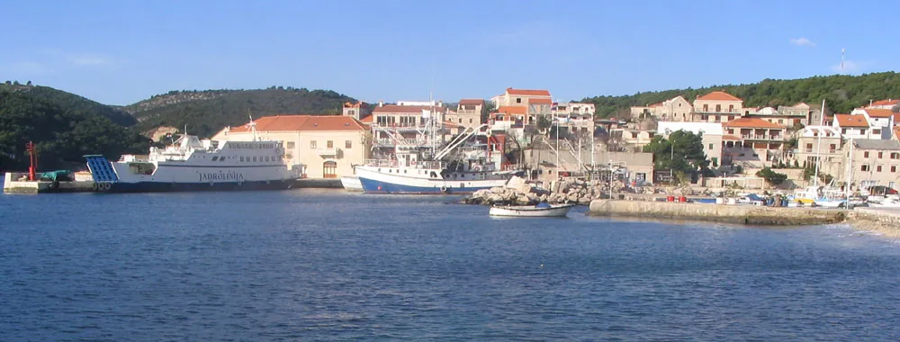
Founded in a time of refuge
Sumartin was founded in 1645 by refugees from the Makarska Littoral, and migration continued in later periods of war. Franciscans accompanied the community and organised religious life. The settlers’ different origins remain evident in the Shtokavian dialect, which sets Sumartin apart on a predominantly Chakavian island.
Sources: [1]
The monastery and the name of the place
The Franciscan monastery and Church of St Martin form the historic centre of the settlement. The name derives from the dedication of an older church that the settlers restored. Today’s church, built in 1913, and the monastery building belong to a later phase of development; the Franciscan collection preserves traces of the community’s long-standing work.
Fishers, shipbuilders and emigrants
In an area where land already had owners, the settlers turned strongly to fishing, seafaring and shipbuilding. Mario Puratić, an emigrant from Sumartin, is associated with the invention of a pulley for hauling fishing nets. The local history of work thus continues far beyond the harbour on Brač.
Churches and the wider harbour area
St Nicholas on the hill between Selca and Sumartin predates today’s coastal settlement. The Church and Cemetery of St Roch belong to the later community and its burial ground. These places show the difference between an inherited landscape and sites shaped by the history of migration.



