
a project bymojBrač

Places map

Places and stories of Brač

Explore the places, heritage and local producers of Brač. Suggest an addition and help build the island’s atlas.

History and architecture

Old school in Novo Selo

Novo Selo · by the road towards the centreOther names: Stara škola u Novom Selu19th centuryThe pin marks the general area based on the source description. The exact location of the structure and the approach have not been confirmed; check locally before setting out.

Summary

The old school building in Novo Selo is part of the history of education in eastern Brač. This simple two-storey stone building shows how a public service fit the scale of an island village.

The school bears witness to community life beyond the religious and economic spaces of the village.
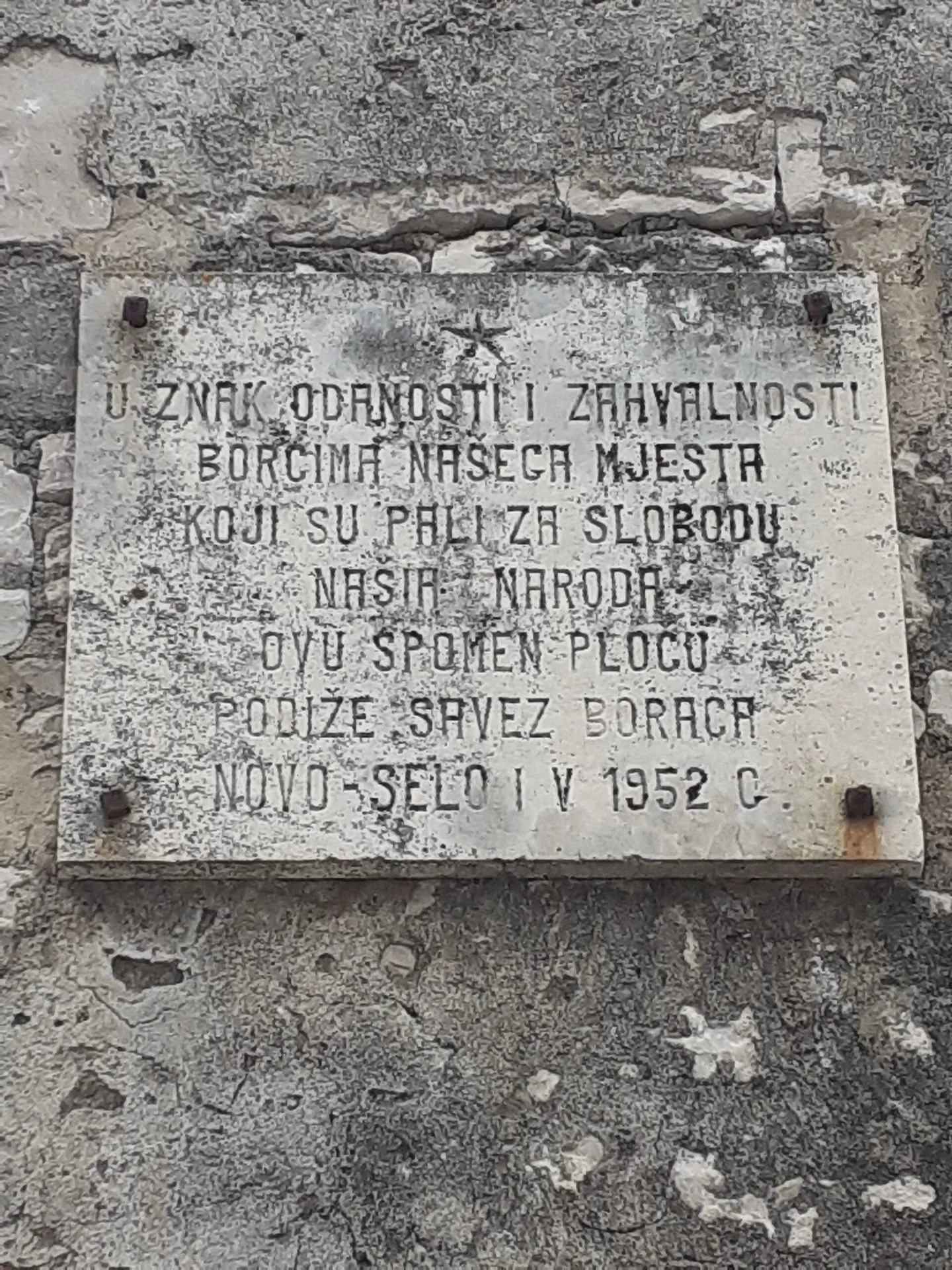
Plaque on the history of the local school in Novo Selo
Plaque on the history of the local school in Novo Selo · Argo Navis · licence

Education in the village

The municipal description links the school with 1853 and notes its importance to the eastern part of the island. The same text later refers generally to the end of the 19th century, so the building’s individual phases are not fully clear. The building is a reliable trace of organised local education.

Sources: [1]

A two-storey stone building

The house is by the road leading to the parish church and centre. It is described as a simple two-storey building with regularly arranged openings, stone frames and an enclosed approach. Its construction shows a public function without the monumental scale of a town school.

Sources: [1]

Location and condition

The cultural heritage description lists the building as abandoned at the time it was documented. The pin marks the wider approach to the centre, not a confirmed entrance. Check the current condition and permission to enter locally; the older note does not prove that the building is unused today.

Sources: [1]

Visitor contributions

Do you know more about this entry?

A photo, an old postcard, a source link or local knowledge can help make the atlas more complete.

Schematic map of Brač with place markers

Every contribution is reviewed before publication.

Religious buildings
4 places

Separate map · local production

Find local producers

A map of family farms and other local producers on Brač. Browse by product type — olive oil, honey, cheese, cosmetics and more — and find basic information, contacts and official websites.

Open the producers’ map →
Local knowledge · Explore Brač

Help document Brač.

Do you know an old name, have a photo, know the location or have a source to share? Your contribution can enrich the island’s public atlas.

Suggest a connection between places →
Schematic illustration of a map with place markers
MOJ BRAČ · SECURE SIGN-IN

Sign in to Explore Brač

We send a one-time code to your email so you can save favourites. You do not need a password or separate registration. Your email and favourites list are stored in the Atlas database.