
Summary
Novo Selo lies between Selca and Povlja, above the Brač Channel in the east. Agriculture, stoneworking, the parish centre and the Roman villa of Bunje connect its early modern core with a much older landscape.
The name Novo Selo, meaning ‘New Village’, does not imply recent construction: the place has a history spanning centuries.
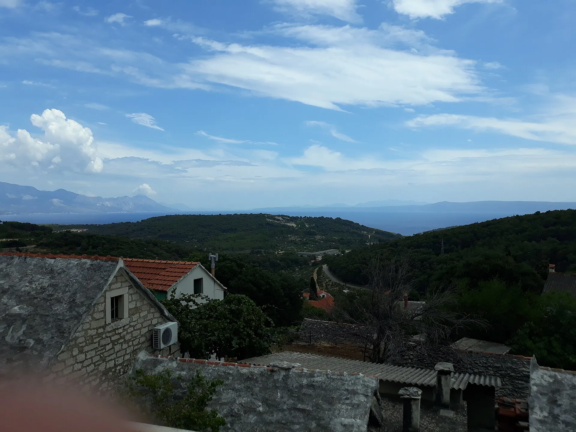
A village between the coast and the interior
The settlement took shape in the 16th century on the route between Selca and Povlja. Views towards the channel and Mount Biokovo are part of its setting, while the residential centre remains connected to the cultivated hinterland. Olive growing and stoneworking are important occupations for local families.
Church and plokata
The Parish Church of the Annunciation of the Blessed Virgin Mary (župna crkva Navještenja Blažene Djevice Marije) was built in stages from the 17th to the 19th century. Its façade and bell tower were completed in 1894. The plokata, the paved square in front of the church, is part of the community centre, and the statue of St Anthony the Abbot reflects the special local devotion to this saint.
Sources: [3]
School and cemetery
The old school in Novo Selo is associated with the development of education in the 19th century. The local cemetery was laid out in 1899, and the small Church of St Nicholas was built in 1903. These places show how the village organised shared needs alongside family homes: education, gathering and burial.
Sources: [3]
Bunje: a different pattern of settlement
The Roman villa of Bunje in the Vejak valley preserves residential and production spaces, cisterns and remains of agricultural processing. Archaeological research has identified several phases of use. The site is important to the history of the area, but the Roman villa does not prove that today’s Novo Selo existed in antiquity.



