
Summary
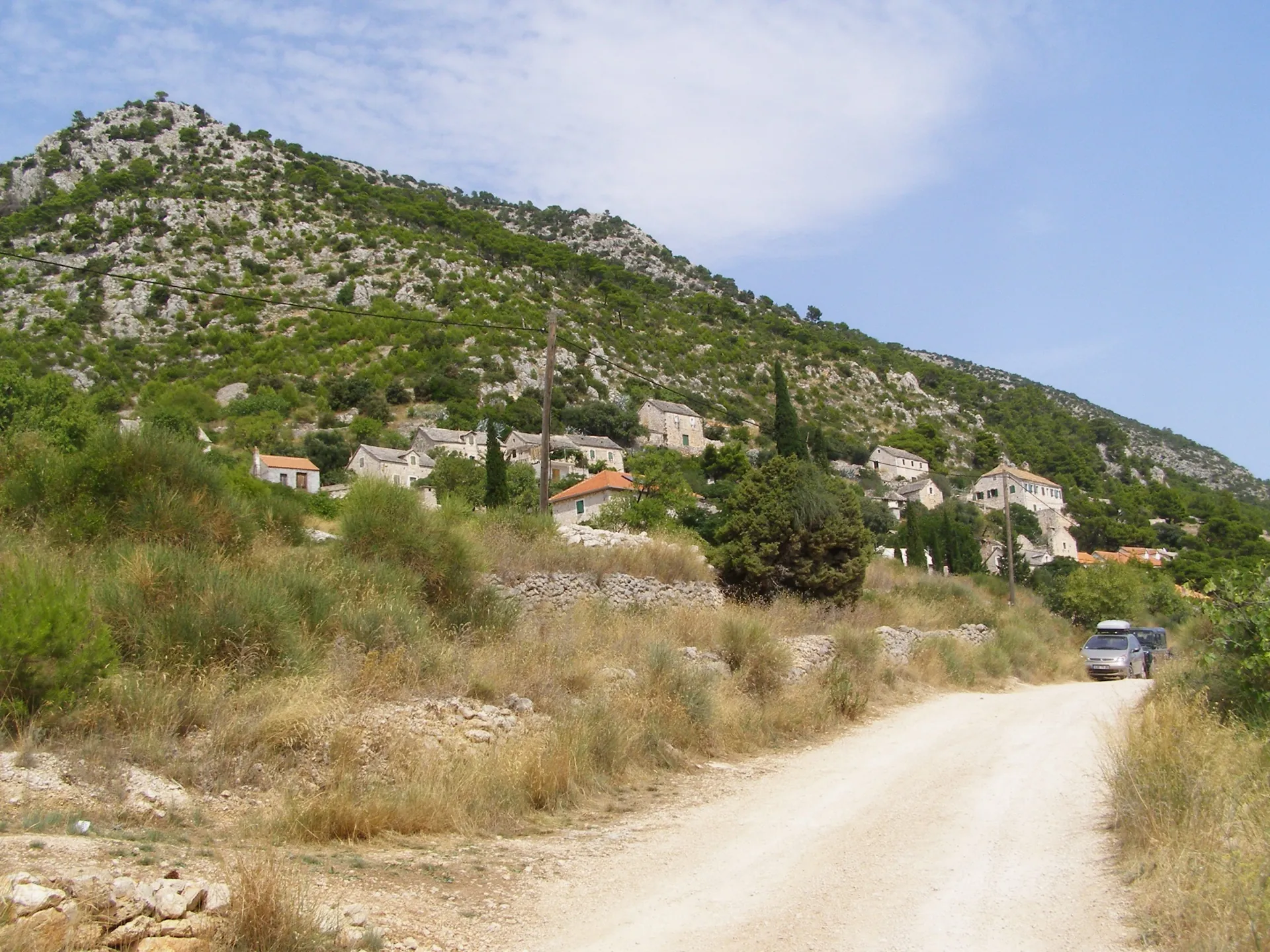
Murvica is a village on the steep southern slopes west of Bol. Its history connects vineyards, farming families and nearby hermitages; stone houses stand between cultivated terraces and high cliffs.
The village and nearby hermitages were connected through working the land and the life of religious communities.
Location and origins of the village
Murvica is a settlement above the southern coast, west of Bol. Its history is tied to the cultivation of monastic estates and the work of farming families on steep slopes. The rural core has no large squares: the layout of the stone houses follows the terrain and families’ practical needs.
Vineyards and population changes
The 1846 cadastre shows monastic estates planted with vineyards and olive groves. Growing demand for wine in the 19th century led to the expansion of vineyards and larger houses for families and workers. Some seasonal workers from the mainland remained on the island, so the economic history also helps explain the origins of certain families from Murvica.
Sources: [2]
Caves and hermit communities
Dragon’s Cave (Zmajeva špilja) above the village preserves reliefs and remains of a cave sanctuary. The Dračeva luka Hermitage, Stipančić Hermitage and Silvio Hermitage belong to the surrounding hermitage landscape. Their houses, churches and cultivated land show how a secluded religious life was connected with farming and labour, rather than separated from the economy of the slopes.
Reading the landscape
Vineyard terraces, stone houses and paths to the sea form a single working landscape. Today’s view of the village is also a view of its agricultural history. The hermitages outside the village core are separate sites; their access and condition differ from those of the public village streets.



