
a project bymojBrač

Places map

Places and stories of Brač

Istraži mjesta, baštinu, ljude i lokalne proizvođače Brača. Predloži dopunu i pomozi graditi atlas otoka.

Archaeology

Roman Quarries above Splitska

above SplitskaOther names: Rasohe, Plate, Stražišće, Herkulov kamenolom, Rimski kamenolomi iznad SplitskeRoman periodApproximate centre of the named outline of Rasohe quarry; it represents that quarry, not all ancient quarries or an entrance.

Summary

The Roman quarries of Rasohe, Plate and Stražišće lie above Splitska. Stone was extracted for building, and a relief of Hercules was carved into the bedrock at Rasohe.

One record covers a connected archaeological landscape; the quarries are distinct sites on the ground.
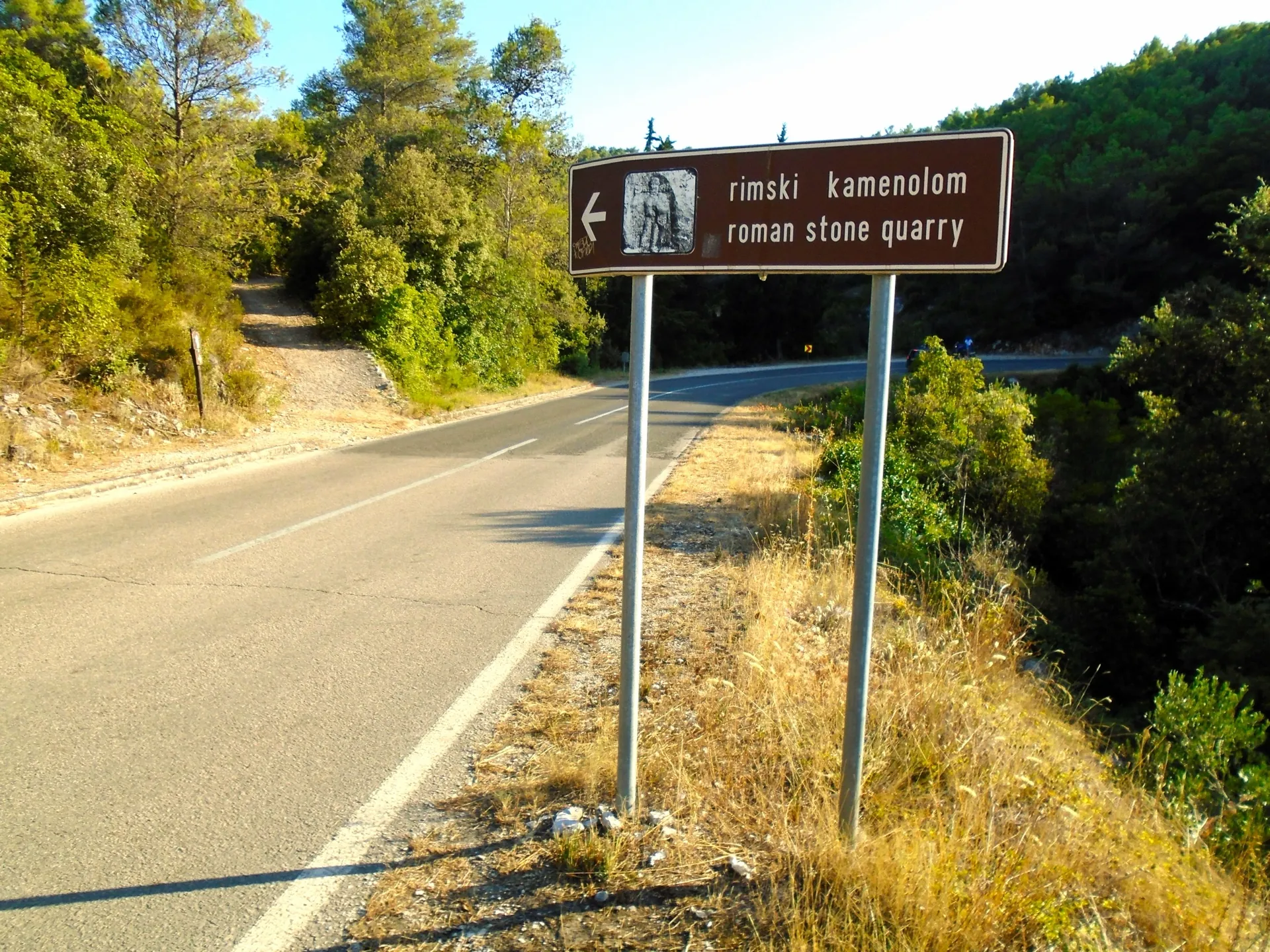
Entrance sign for the Roman quarry at Rasohe
Entrance sign for the Roman quarry at Rasohe · Silverije · Wikimedia Commons · CC BY-SA 4.0 · licence

History and context

The quarries of Rasohe, Plate and Stražišće lie on a rise above Splitska. The Supetar Tourist Board says Brač stone was exported from Splitska and used in the construction of Diocletian's Palace in Split. The group is best understood as a connected production landscape, not as a single identical quarry pit or one extraction point.

What the site reveals

The best-known find at Rasohe is a relief of Hercules, about 80 cm high, carved into the bedrock. Nenad Cambi interprets it as a cult relief in a natural setting and dates it probably to the first half of the 3rd century. An altar dedicated to Hercules was found at Stražišće; scholarly studies report additional finds and possible places of worship at Plate. The quarries therefore document both stone extraction and the religious practices of quarry workers.

Location and visiting

A marked themed trail from Splitska leads to Rasohe and is about 1.1 km long according to the Supetar Tourist Board. The map point marks only the wider area. Check the trail conditions before setting out; do not climb the rock faces or damage the relief.


Visitor contributions

Do you know more about this entry?

A photo, an old postcard, a source link or local knowledge can help make the atlas more complete.

Schematic map of Brač with place markers

Every contribution is reviewed before publication.

Religious buildings
4 places

Separate map · local production

Find local producers

A map of family farms and other local producers on Brač. Browse by product type — olive oil, honey, cheese, cosmetics and more — and find basic information, contacts and official websites.

Open the producers’ map →
Local knowledge · Explore Brač

Help document Brač.

Do you know an old name, have a photo, know the location or have a source to share? Your contribution can enrich the island’s public atlas.

Suggest a connection between places →
Schematic illustration of a map with place markers
MOJ BRAČ · SECURE SIGN-IN

Sign in to Explore Brač

We send a one-time code to your email so you can save favourites. You do not need a password or separate registration. Your email and favourites list are stored in the Atlas database.