
Summary
Dragovode is an abandoned group of shepherds’ homesteads in the interior of Brač, on the wider approach to the Blaca area. The stone houses and working spaces preserve traces of how the island’s hinterland was once used.
Dragovode is an abandoned group of shepherds’ homesteads in the interior of Brač, on the wider approach to the Blaca area. The stone houses and working spaces preserve traces of how the island’s hinterland was once used.
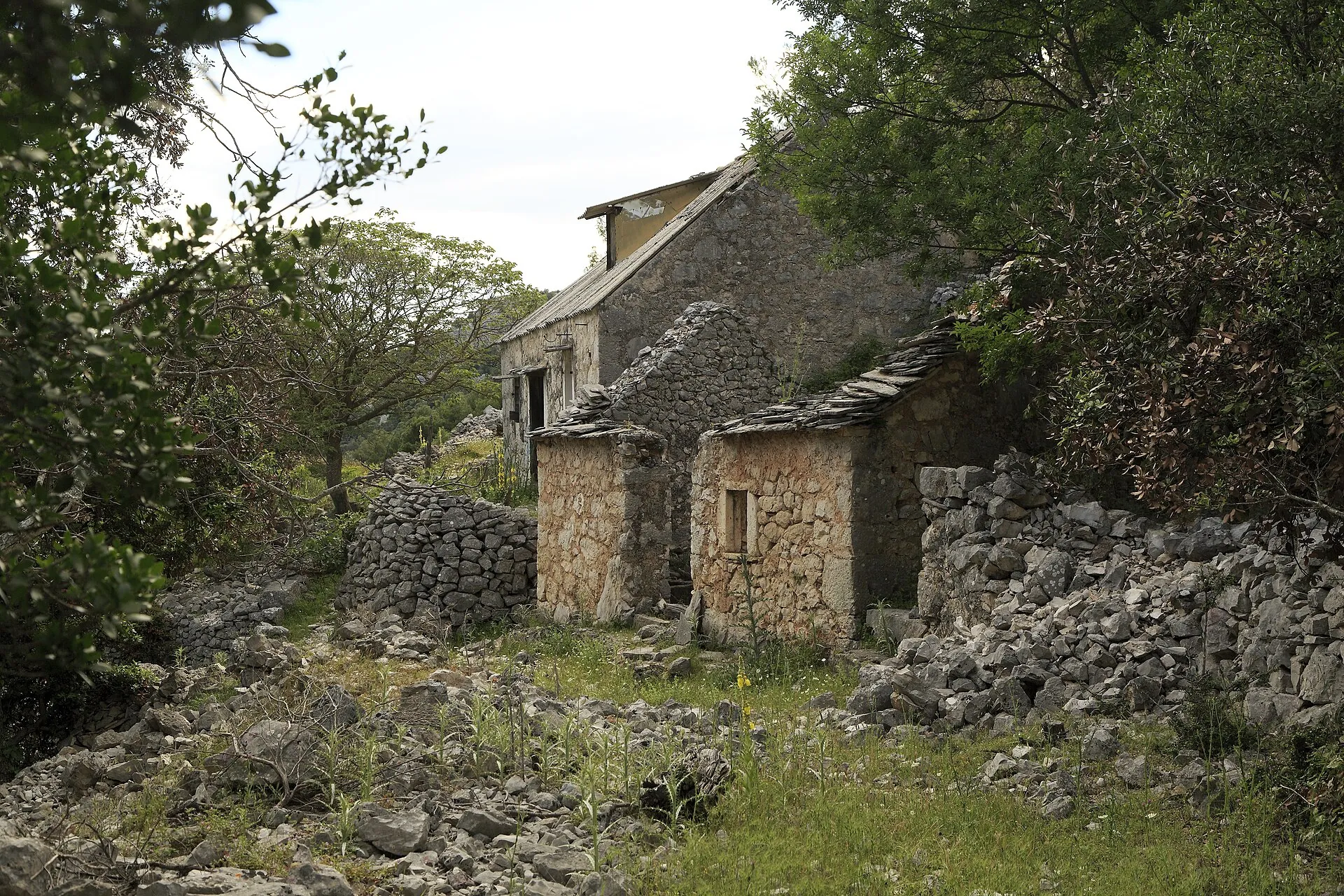
Homesteads in the island interior
The Municipality of Nerežišća lists Dragovode among the abandoned shepherds’ homesteads in its area, together with Obršje, Podžeženik and other small rural settlements. Maps show both forms of the name, Dragovode and Dragevode.
A shepherds’ homestead is not a large independent settlement, but a smaller complex connected with farming and livestock. The construction date of individual houses has not been confirmed, so the group should not be assigned an arbitrary century.
Sources: [1]
Stone complex and paths
At Dragovode, a small residential complex and working spaces form one rural ensemble. Their location inland shows how life in these homesteads was tied to paths, grazing and the surrounding land.
The name Dragevode also appears on the Camino Brač walking route published on Wikiloc. The route confirms contemporary use of the name in a hiking context, but it is not proof of ownership or guaranteed safe access to every house.
Sources: [1]
School at Blaca
Pustinja Blaca (Blaca Hermitage) was also an educational centre for children from Dragovode. A specialist account says children from this and neighbouring hamlets walked daily to the monastery school. The route to Blaca therefore also has historical significance in the lives of local families.
Sources: [4]
Access and visiting
Paths through the island interior lead to the homesteads. Check the route and access conditions before setting out; ruined houses and closed properties are not open for entry. Do not touch roofs, walls or equipment left in working areas.
Sources: [1]



